
Imagine knowing where a snow leopard is right now. Or how far a whale has traveled this week. Wildlife tracking software makes this possible. It helps scientists, rangers, and conservationists monitor animals in real time. And it is changing the way we protect our planet.
TLDR: Wildlife tracking software uses GPS, satellites, and smart sensors to monitor animals in real time. It helps scientists understand movement, behavior, and threats. This technology improves conservation efforts and reduces risks like poaching. Real-time data means faster action and better protection for wildlife.
Let’s break it down in a simple way.
Wildlife tracking software is a digital system. It collects data from tracking devices attached to animals. These devices send location and behavior information. The software then turns that data into maps, charts, and alerts.
It sounds complex. But the idea is simple. Track. Analyze. Protect.
How Real-Time Wildlife Tracking Works
The process usually follows a few steps:
- Step 1: A small tracking device is placed on an animal.
- Step 2: The device sends signals using GPS or satellites.
- Step 3: Data travels to a central software system.
- Step 4: Researchers view the animal’s movement on a digital dashboard.
Some devices also collect:
- Body temperature
- Heart rate
- Altitude
- Speed
- Environmental data
This information updates every few seconds or minutes. That is what makes it real time.

Why Real-Time Monitoring Matters
In the past, tracking wildlife was slow. Researchers relied on radio signals and manual observation. It took days or weeks to gather useful information.
Now, they can react immediately.
Here are some major benefits:
1. Faster Anti-Poaching Response
If a tracked elephant suddenly stops moving, the system sends an alert. Rangers can quickly check the location. This can stop poachers before it is too late.
2. Migration Pattern Insights
Real-time mapping shows exact migration routes. Conservationists can protect those paths. Governments can avoid building roads in critical areas.
3. Climate Change Research
Changes in movement patterns often signal environmental changes. Tracking software helps scientists connect animals’ behavior to climate data.
4. Reduced Human-Wildlife Conflict
If lions move toward farms, alerts warn local communities. This prevents livestock loss and protects the lions from retaliation.
Key Features of Wildlife Tracking Software
Not all tracking platforms are the same. But the best ones share common features.
- Live GPS Mapping: Shows exact location on interactive maps.
- Geofencing: Sends alerts when animals enter or leave certain zones.
- Data Analytics: Generates behavior reports and trends.
- Mobile Access: Allows field teams to monitor from smartphones.
- Cloud Storage: Safely stores years of movement data.
These tools turn raw numbers into clear insights.
Popular Wildlife Tracking Software Tools
Here are some widely used platforms in conservation projects.
1. Movebank
A free, online database used by researchers worldwide. It stores and analyzes animal tracking data. It supports GPS and satellite telemetry.
2. EarthRanger
A powerful conservation platform. Often used in African reserves. It combines tracking data with ranger patrol information.
3. SMART (Spatial Monitoring and Reporting Tool)
Designed for protected areas. It helps manage wildlife data and law enforcement efforts.
4. Wildlife Computers Platform
Works closely with marine and land tracking devices. Known for high-precision animal tags.
Comparison Chart
| Software | Best For | Real-Time Tracking | Data Analytics | Used In |
|---|---|---|---|---|
| Movebank | Academic research | Yes | Advanced | Global |
| EarthRanger | Anti-poaching and reserves | Yes | High-level dashboards | Africa, Asia |
| SMART | Protected area management | Limited real-time | Strong reporting tools | Worldwide parks |
| Wildlife Computers | Marine and migration studies | Yes | Scientific focus | Oceans and remote regions |
Tracking Devices Behind the Software
The software is only one part of the system. Devices in the field do the hard work.
Common tracking tools include:
- GPS Collars: Used on large mammals like wolves and elephants.
- Satellite Tags: Ideal for whales and sea turtles.
- Radio Transmitters: Smaller range but cost-effective.
- Drone Integration: Adds aerial monitoring support.
Modern devices are small and lightweight. Some are solar powered. Others are designed to fall off after a certain period.
How Data Turns Into Action
Collecting data is not the final goal. Action is.
Here’s how real-time software leads to real-world impact:
- Instant alerts: Rangers respond to emergencies quickly.
- Smart patrol routes: Patrols focus on high-risk zones.
- Policy decisions: Governments use movement data to design protected lands.
- Community updates: Villages receive wildlife approach warnings.
This creates a feedback loop. Data improves decisions. Better decisions protect animals.
Marine Wildlife Tracking
Tracking is not just for land animals.
Marine tracking software monitors:
- Whales
- Sharks
- Sea turtles
- Tuna
Since oceans are vast, satellites are critical. Tags send signals when animals surface. The data maps long-distance ocean journeys.
This helps identify:
- Breeding grounds
- Feeding areas
- Dangerous fishing zones
Fishing regulations often change based on this information.
Challenges of Wildlife Tracking Software
Even the best systems face obstacles.
High Costs
Satellites and advanced tags are expensive. Conservation groups often rely on grants.
Data Overload
Thousands of signals every day create massive datasets. Without good analytics, it becomes overwhelming.
Connectivity Issues
Remote jungles and deep oceans can block signals.
Ethical Concerns
Animals must not be harmed by tags. Devices are carefully tested to ensure safety.
The Role of AI and Machine Learning
Artificial intelligence is making tracking even smarter.
AI can:
- Predict migration routes
- Detect unusual movement patterns
- Identify poaching risks
- Automate reports
Instead of just seeing where an animal is, researchers can predict where it will go next.
This changes conservation from reactive to proactive.

Real-World Success Stories
Saving Elephants in Kenya
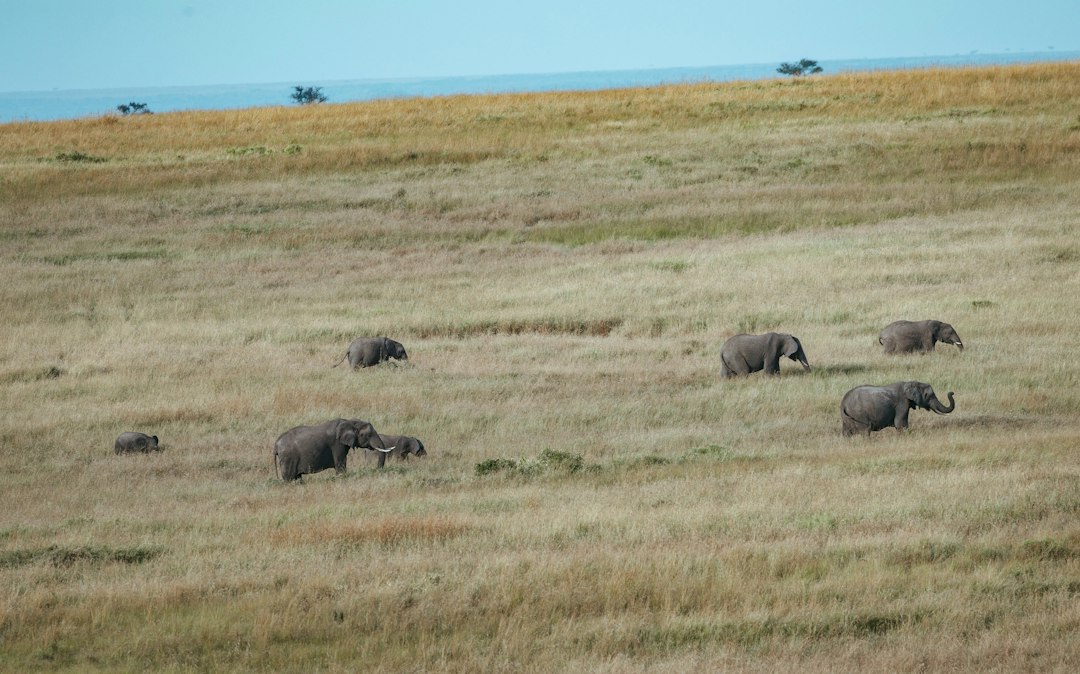
Real-time software linked with ranger patrols reduced poaching in key reserves. Alerts helped teams respond in minutes instead of hours.
Protecting Sea Turtles
Satellite tracking identified nesting beaches under threat. Governments established protected zones.
Monitoring Wolves in Europe
Live tracking reduced conflict with farmers. Authorities provided warnings when packs approached livestock areas.
These stories show real impact. Technology is not replacing conservationists. It is empowering them.
The Future of Wildlife Tracking
The future looks exciting.
Expect to see:
- Smaller and lighter tags
- Longer battery life
- More affordable systems
- Greater AI integration
- Stronger global data sharing
Imagine a world map. Every major species connected. Movement patterns updating live. Threat zones highlighted instantly.
That future is not far away.
Why It Matters to All of Us
Wildlife tracking software does more than protect animals.
It protects ecosystems.
Healthy ecosystems support:
- Clean water
- Food supply
- Climate balance
- Biodiversity
When we know where animals go and what they need, we make better choices as a society.
And it all starts with a signal. A tiny device. A data point on a screen.
Real-time wildlife tracking turns that signal into hope.
Track smarter. Act faster. Protect better.